Creato da: diegobaratono il 02/05/2008
NEW ARCHAEOLOGY, SCIENZA, ARCHEOLOGIA SPERIMENTALE, RICERCHE ARCHEOLOGICHE D'AVANGUARDIA, NEWS DAL MONDO, EGITTOLOGIA, EGYPTOLOGY, ARCHEOASTRONOMIA, PALEOGEOMETRIA, CRIPTOGEOMETRIA, CULTURAL GEOMETRY, GEOMETRIA CULTURALE, ARCHITETTURE SACRE

Area personale


Tag


Cerca in questo Blog

  Trova
 

Archivio messaggi

 
 << Aprile 2024 >> 
 
LuMaMeGiVeSaDo
 
1 2 3 4 5 6 7
8 9 10 11 12 13 14
15 16 17 18 19 20 21
22 23 24 25 26 27 28
29 30          


FACEBOOK


Citazioni nei Blog Amici: 8
 

Contatta l'autore

Nickname: diegobaratono
Se copi, violi le regole della Community Sesso: M
Età: 63
Prov: TO
 
RSS (Really simple syndication) Feed Atom
 

Chi può scrivere sul blog

Solo l'autore può pubblicare messaggi in questo Blog e tutti possono pubblicare commenti.
I messaggi e i commenti sono moderati dall'autore del blog, verranno verificati e pubblicati a sua discrezione.
 

Ultime visite al Blog

m12ps12prefazione09neveleggiadra0aleromadgl0cassetta2Marion20limitedelbosco0diegobaratonoannamatrigianomonellaccio19lost.and.foundMiele.Speziato0marabertowamistad.siempre


LINK DA CONSULTARE

- LiriciGreci.org
- Egittophilia
- Egittologia.net
- Pyramidales
- WORLDTRUTH
- Bibliotheca Alexandrina
- Osservatorio virtuale
- INAF-Osservatorio Astronomico Torino
- Giza Plateau Mapping Project
- AERA, Ancient Egypt Research Associates
- Il Museo Egizio di Torino
- Il Museo Egizio del Cairo
- Ecco il Louvre
- Ecco il British Museum
- Musei Vaticani
- Egyptians Gods
- Previsioni meteo
- Insolazione
- California Institute of Technology
- Astrocaltech
- Geologicaltech
- A tutto Caltech
- Massachussetts Institute of Tecnology
- Ecco gli Uffizi
- Istituto Nazionale di Geofisica e Vulcanologia
- Terremoti in tempo reale
- MONITORAGGIO TERREMOTI REAL TIME
- ESA (Agenzia Spaziale Europea)
- NASA
- LIETI CALICI
- LIETI CALICI II
- Science
- ScienceNews
- C.N.R. (Consiglio Nazionale delle Ricerche)
- Moon Phases
- Ordine Cisterciense
- Abbazia di Casamari
- Abbazia di Fossanova
- Abbazia di Staffarda
- Abbazia di Morimondo
- Pompei
- Ercolano
- Amalfi
- Tutto Darwin
- Tutto Lyell
- Ordine Templare
- Politecnico di Torino
- Università Amedeo Avogadro di Alessandria
- Università di Oxford
- Università di Cambridge
- Isaac Newton
- Albert Einstein
- A tutta birra
- A tutta birra II
- Tutto Mendel
- LIETI CALICI III
- Abbazia di Tiglieto
- Abbazia di Chiaravalle
- The heritage - key
- CERN European Organization for Nuclear Research
- Science Daily
- A caccia di meteore ...
- World Digital Library
- Library of Congress
- Antikitera News
- BIBLIOTECA DIGITALE ITALIANA
- Il giornale di Galileo
- Galileo Galilei
- Enciclopedia Egittologica on line
- Scienze cartografiche
- El - Giza pyramids
- Caravaggio
- REUTERSNEWS
- CNNNEWS
- ANSANEWS
- English Heritage
- NATURE
- ENCICLOPEDIA TRECCANI ONLINE
- ENCICLOPEDIA BRITANNICA ONLINE
- EGYPTIAN ARCHAEOLOGY
- PRINCETON UNIVERSITY
- NationalGeographicNews
- RELIGIONI A CONFRONTO
- USHEBTIS EGIPCIOS
- Talking Pyramids
- LIETI CALICI IV
- Sito di ...vino
- La Banca del Vino
- MATHEMATICA ON LINE
- ARKEOMOUNT
- Egyptians Gods II
- TESTI DELLE PIRAMIDI
- DAVID ROBERTS
- COLLEZIONI INTERNAZIONALI ON - LINE
- LIETI CALICI V
- GEOMETRIA SACRA
- IPSE DIXIT
- THE GRIFFITH INSTITUTE
- ARCHIVIO SEGRETO VATICANO
- ABBINAMENTI VINO CIBO
 

Messaggi del 01/12/2016


FOTO DA MARTE: DA VEDERE!

Post n°1343 pubblicato il 01 Dicembre 2016 da diegobaratono

DA: "SPACE.COM"

Lookin' Good, Mars! ExoMars' First High-Res Photos Are Incredible
By Hanneke Weitering, Staff Writer-Producer 
November 29, 2016 01:30pm ET

Behold! The European Space Agency's new Mars orbiter just sent back its first high-resolution images of the Red Planet, and the view is amazing.

The ExoMars Trace Gas Orbiter (TGO) arrived at Mars on Oct. 19, when its companion spacecraft Schiaparelli crash-landed on the planet's surface. Since then, TGO has been circling Mars, testing out its machinery, and taking spectacularly sharp pictures of the landscape using its Colour and Stereo Surface Imaging System (CaSSIS). ESA stitched together the best of these photos in a cool new flyover video.

"The first images we received are absolutely spectacular ― and it was only meant to be a test," Nicolas Thomas, CaSSIS team leader at the University of Bern's Center of Space and Habitability, said in a statement. [Photos: Europe's ExoMars Missions to Mars in Pictures]

Image of a 0.9 mile-size (1.4 kilometers) crater (left-center) _n the rim of a larger crater near the Mars equator. It was acquired at 7.2 meters/pixel by the Colour and Stereo Surface Imaging System (CaSSIS) aboard the European Space Agency's ExoMars Trace Gas Orbiter.
Image of a 0.9 mile-size (1.4 kilometers) crater (left-center) on the rim of a larger crater near the Mars equator. It was acquired at 7.2 meters/pixel by the Colour and Stereo Surface Imaging System (CaSSIS) aboard the European Space Agency's ExoMars Trace Gas Orbiter.
Credit: ESA/Roscosmos/ExoMars/CaSSIS/UniBE

These first images allowed ESA to test the camera's color- and stereo-imaging capabilities, which would allow CaSSIS to build 3D maps of the Martian surface by combining views from different perspectives.

Though the color-imaging equipment was functioning as planned, the first photos appear black and white. That's because the areas photographed are dusty ― volcanic without much color to be seen. "We will have to wait a little until something colorful passes under the spacecraft," Thomas said. 

The first stereo reconstruction of a small area in Noctis Labyrinthus _n Mars, created by the Colour and Stereo Surface Imaging System (CaSSIS) aboard the European Space Agency's ExoMars Trace Gas Orbiter. The image gives an altitude map of the region with a resolution of less than 65 feet (20 meters).
The first stereo reconstruction of a small area in Noctis Labyrinthus on Mars, created by the Colour and Stereo Surface Imaging System (CaSSIS) aboard the European Space Agency's ExoMars Trace Gas Orbiter. The image gives an altitude map of the region with a resolution of less than 65 feet (20 meters).
Credit: ESA/Roscosmos/ExoMars/CaSSIS/UniBE

TGO is currently orbiting Mars once every four days in a highly elliptical path. At its closest, the spacecraft flies within 155 miles (250 kilometers) of the ground. These close approaches are happening quickly before the orbiter raises its altitude to about 62,000 miles (100,000 km).

CaSSIS was up and running for two of these approaches during its testing phase and returned a total of 11 images. ESA then combined some of the new photos in the video above to simulate a flyover of Hebes Chasma, a 190-mile-long (310 km) canyon in the Martian surface.

"We saw Hebes Chasma at 2.8 meters per pixel," said Thomas. "That’s a bit like flying over Bern at 15,000 kilometers [9,300 miles] per hour and simultaneously getting sharp pictures of cars in Zürich."

A structure called Arsia Chasmata _n the flanks of _ne of the large Martian volcanoes, Arsia Mons. This view was created by the Colour and Stereo Surface Imaging System (CaSSIS) aboard the European Space Agency's ExoMars Trace Gas Orbiter. The width of the image is around 16 miles (25 kilometers). The formation is volcanic in origin, and pit craters are visible.
A structure called Arsia Chasmata on the flanks of one of the large Martian volcanoes, Arsia Mons. This view was created by the Colour and Stereo Surface Imaging System (CaSSIS) aboard the European Space Agency's ExoMars Trace Gas Orbiter. The width of the image is around 16 miles (25 kilometers). The formation is volcanic in origin, and pit craters are visible.
Credit: ESA/Roscosmos/ExoMars/CaSSIS/UniBE

After the botched landing of the Schiaparelli spacecraft in October, pressures have been high for the ExoMars team. "A lot of public attention has been on the failed landing of Schiaparelli, but TGO has been working really well, so we have been extremely busy in the past month," Thomas said.

"We were quite nervous but it looks as though almost everything functioned as we planned it. The resulting images are really sharp," Antoine Pommerol, a CaSSIS co-investigator at the Center of Space and Habitability in Bern, said in the same statement.

For the next few months, the team will continue to prepare CaSSIS for its prime mission. "The test was very successful but we have identified a couple of things that need to be improved in the onboard software and in the ground post-processing," Thomas said.


Condividi e segnala Condividi e segnala - permalink - Segnala abuso


PIRAMIDI IN ANTARTIDE? AL MOMENTO SOLO PINGUINI!

Post n°1342 pubblicato il 01 Dicembre 2016 da diegobaratono

DA: "livescience.com"


New Pyramid in Antarctica? Not Quite, Say Geologists


New Pyramid in Antarctica? Not Quite, Say Geologists
This Antarctic mountain bears a striking resemblance to a pyramid.
Credit: Google Maps

An Antarctic mountain with a unique, pyramid-like shape is suddenly internet-famous, with countless theorists contemplating its origin. Some are wondering whether an ancient civilization created the rocky, pyramidal structure, and others are pointing toward outer space, speculating about the involvement of aliens.

But Occam's razor — the idea that the simplest explanation is usually the right one — points to a far more mundane cause: Those steep, pyramid-like sides are likely the work of hundreds of millions of years of erosion, experts told Live Science.

"This is just a mountain that looks like a pyramid," Eric Rignot, a professor of Earth system science at the University of California, Irvine, told Live Science in an email. "Pyramid shapes are not impossible — many peaks partially look like pyramids, but they only have one to two faces like that, rarely four." [Photos: The World's Weirdest Geological Formations]

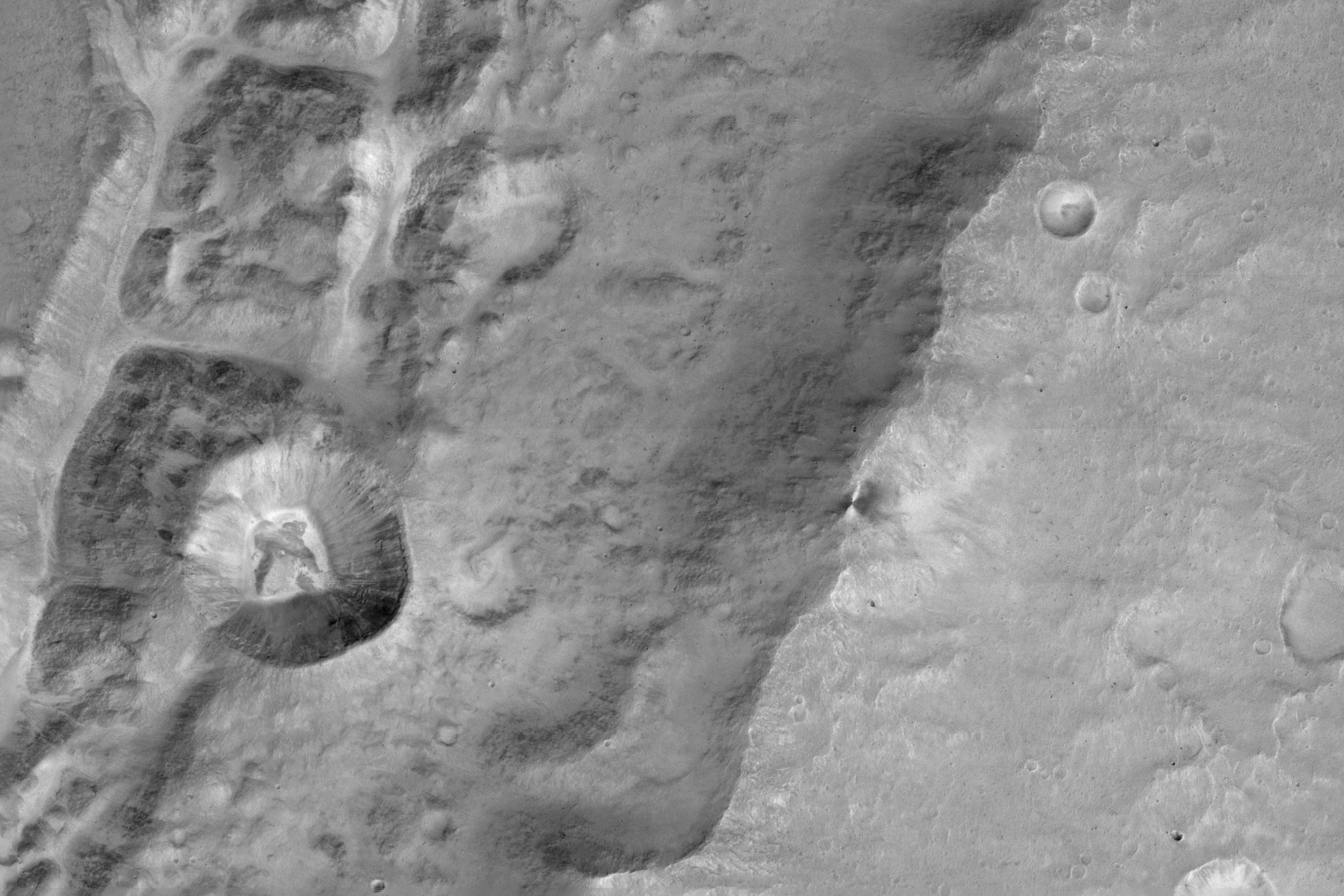
The pyramidal mountain, which doesn't have a formal name, is one of the many peaks that make up Antarctica's Ellsworth Mountains, which were discovered by the American aviator Lincoln Ellsworth during a flight on Nov. 23, 1935, according to a 2007 research paper that was published by the U.S. Geological Survey (USGS).

More specifically, the unnamed mountain — located at 79°58’39.25"S 81°57’32.21"W — is in the southern part of the Ellsworth Mountains in an area called Heritage Range, which is known for its extraordinary fossils, including those of Cambrian-period trilobites from more than 500 million years ago, according to a 1972 USGS report.

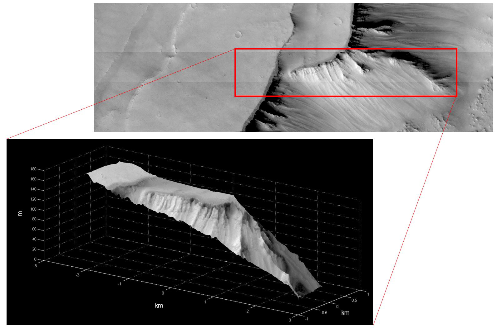
The mountain isn't that tall by planetary standards — just 4,150 feet (1,265 meters) — or a little less than one-fifth the height of Denali, the tallest mountain in North America, according to Google Earth. The mountain may not have Denali's height, but its unique pyramidal shape sets it apart, said Mauri Pelto, a professor of environmental science at Nichols College in Dudley, Massachusetts.

Freeze-thaw erosion likely led to its pyramid-like shape, Pelto said. This happens when snow or water fills up cracks within a mountain during the day. When night falls and temperatures drop, the snow freezes and expands, turning into ice. The expanding ice causes the cracks to grow, Pelto said.

This freeze-thaw erosion happens countless times, leading to the creation of larger cracks that can, eventually, cause entire rock sections to break off, he said. These forces likely also shaped other pyramidal mountains, including the Matterhorn in the Alps, he said.

A pyramid-shaped peak called Matterhorn in the Alps.
Credit: Ekaterina Grivet, Shutterstock.com

Three of the mountain's four sides appear to have eroded at about the same rate. "It suggests, since it came out so evenly, that the rock type is fairly uniform," Pelto said. "You don't have any rock layers that are harder to erode."

In other words, the nameless mountain is likely "all in one rock layer," Pelto said. "It's not a very big mountain, so it's not that surprising." 

However, the eastern ridge of the mountain is decidedly the black sheep of the family. Instead of descending downward like the other ridges, that fourth side extends east, rising toward even higher terrain, Pelto said.

"The erosion probably wasn't as uniform [on the eastern side]," he said.

Pelto added that although some news outlets are saying that the mountain is newly discovered, that's very unlikely to be the case. There's a research base for climate scientists to the south of the mountain in an area known as the Patriot Hills.

"You can actually probably see this mountain from up there in the Patriot Hills," Pelto said.

As for the conspiracy theorists who are wondering about the mountain's pyramidal shape, "at least they're thinking about something," he said. "In the end, maybe they'll learn something in the process."

Original article on Live Science.

 
Condividi e segnala Condividi e segnala - permalink - Segnala abuso


© Italiaonline S.p.A. 2024Direzione e coordinamento di Libero Acquisition S.á r.l.P. IVA 03970540963